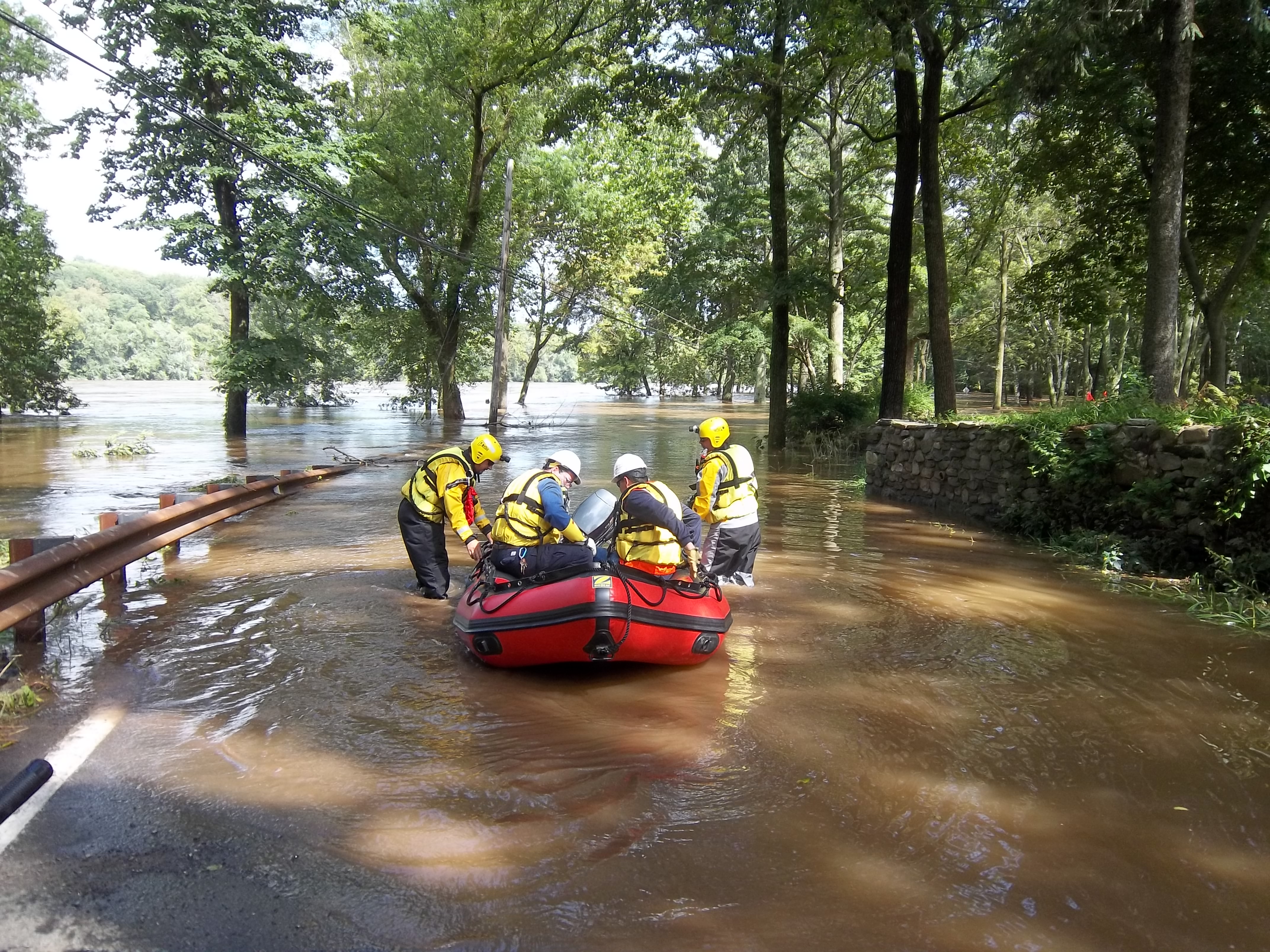
Flooding
A seasonal reality is to hear a weather forecast for Upper Makefield Township announcing flood potential from a tropical storm, heavy rains, even hurricane conditions.
The Jericho and Hough’s creeks have repeatedly flooded, eroding soil along their banks. In addition, we’ve experienced
major flooding along the Delaware River and Delaware Canal. There are ways to minimize flooding risk and damage.
As many as 200 properties in Upper Makefield Township are at higher risk for flooding, based on historical data. Flood risk maps were updated in 2015. These properties may be required by mortgage lenders to maintain flood insurance. For residents living outside an area of high risk, having flood insurance may still be a wise choice: More than 20 percent of flood claims come from properties outside the high-risk flood area.
We encourage you to ask questions before your buy. Here is a guide to help you get started.
FEMA and NFIP—Good to Know
Upper Makefield Township works with the Federal Emergency Management Association (FEMA) and its Community Ratings System (CRS), to help residents mitigate flood damage. We are working to exceed CRS standards, which means property owners may be eligible for reduced flood insurance premiums from the National Flood Insurance Program (NFIP).
Additional benefits of CRS participation include:
- Reduction in flood losses
- Reduction in property damage
- Protections to public health and safety
- Flood risk mitigation in new construction plans
- Reduced risk of erosion damage
To better understand your risk of flooding, check your property’s flood zone at the resources below.
Community Rating System Annual Recertification – 2022 Progress Report
Risk: Is my Property in a Flood Plain?
This very helpful link opens to a box where you can enter your property address to a map showing its relationship to flood risk, as well as any flood zone designation letters related to the property.
FEMA MapsBucks County Flood Plain Maps
Consider Flood Insurance
We strongly suggest you review these online tools and then visit our Planning and Zoning department, with these questions in mind.
- What risk is there for flooding on my property?
- What documentation should I bring to a flood insurance agent?
- What flood protection projects can we work on that may prevent future flood damage?
How to Apply for Flood Insurance
You’ll need the following information to apply for Flood Insurance.
- CID #. Community Participation. Upper Makefield Township is listed in the FEMA Community Status Book Report. The CID# is 420207d.
- Elevation Certificate. Your Insurance company may ask you for an Elevation Certificate, (EC). A blank, fillable certificate is found here. Please provide the information you have, and bring it to our Planning and Zoning office for further assistance.
- Insurance Agent Referral Call Center. To sell flood insurance, your agent or insurer must participate in the National Flood Insurance Program (NFIP). If your insurance agent does not sell flood insurance, you can contact the NFIP Referral Call Center at 1-800-427-4661 to request an agent.
- More about Flood Insurance. The website, www.floodsmart.gov offers clear, helpful information from the National Flood Insurance Program.
Flood Preparation Agencies
Flood insurance is your last resort: Flood protection is an ongoing effort in Upper Makefield Township, where we work with County, Federal, and State agencies who provide financial and technical assistance.
Government Agencies
Federal Emergency Management Agency (FEMA)
Use the Keyword “Flood Smart,” and type in your address for a map, as well as any letters from FEMA to Upper Makefield regarding your property.
National Weather Service
Flood Prediction Service
Bucks County Planning Commission
The Bucks County 2016 Hazard Mitigation Plan describes Bucks County’s Hazard Mitigation Plan, assesses flood vulnerability, shows an updated flood zone map, effective 3/16/2015, listing and describing flood and flash flood events from 1993-2020, including property damage. The plan also identifies priority mitigation projects.
U.S. Environmental Protection Agency
This link to the wetlands page describes how wetlands mitigate flood damage and reduce erosion. “Preserving and restoring wetlands together with other water retention can often provide the level of flood control otherwise provided by expensive dredge operations and levees.”
Pennsylvania Department of Environmental Protection
Helpful documents from PA DEP focus on Flood Protection projects. The process flows from damage assessment to hydrologic analysis, and project development. It has a form for post-flood damage inventory from property owners.
Cleanup
After a flood, you may find these tips helpful. If your home has flooded, you’ll need an electrical inspection before PECO will reconnect service. Please contact one of the companies below to schedule an electrical inspection:
- Code Inspections, Inc. 215-672-9400
- Middle Atlantic Electrical Inspections, Inc. 215-322-2626
- Middle Department Inspection Agency 215-244-1919
- United Inspection Agency 215-542-9977
- First PA Inspections, In. 215-674-2355
- Grill 1 Inspection is 215-364-5758/215-694-6525